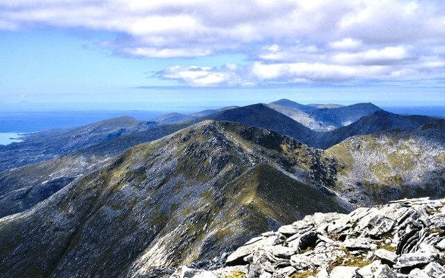
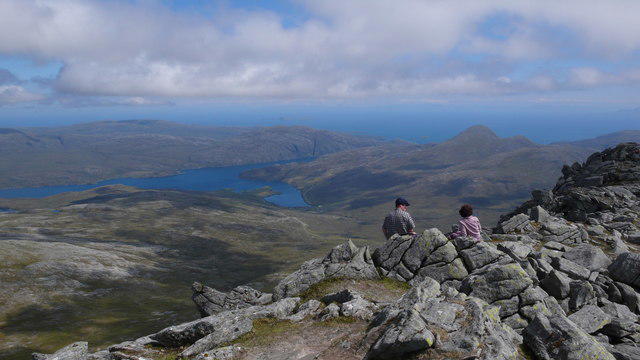
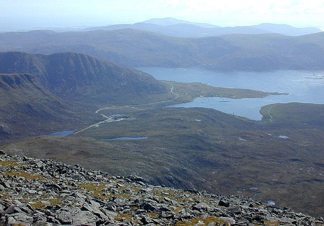
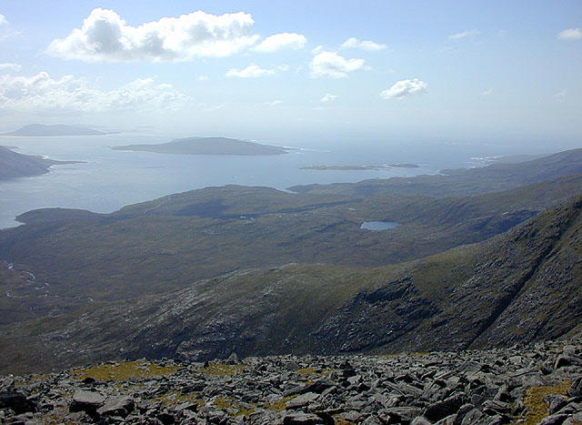
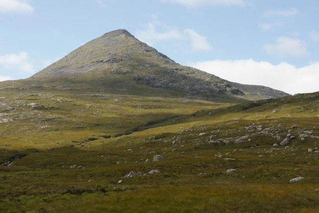
![An Cliseam [Clisham]](https://cdn.walkmates.com/hill-photos/hill-placeholder.jpg)
Coastal
PointToPoint
Easy
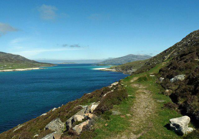
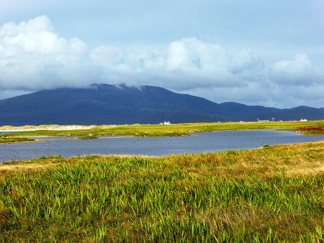
Beautiful private beach walk Isle of Harris
PaulWalkmates
Walk organiser
![An Cliseam [Clisham] location map](https://cdn.walkmates.com/hill-maps/an-cliseam-[clisham].png)
No comments yet. Be the first.